The Geopark is a particularly special area of the country as so many geological periods are represented. The story of geological time is written in the landscape from the ancient rocks of the Malvern Hills (700 million years old) to the 'recent' glacial and river deposits in the valleys of the rivers Rea, Severn, Stour, Frome and Leadon. There are a variety of trail guides available exploring geology and landscape, and the building stones seen within the Geopark. The trail guides presents these geological stories to visitors who enjoy the countryside and would like to know a little more.
more »
|
||||||
|
Geological Trail Publications in the geopark
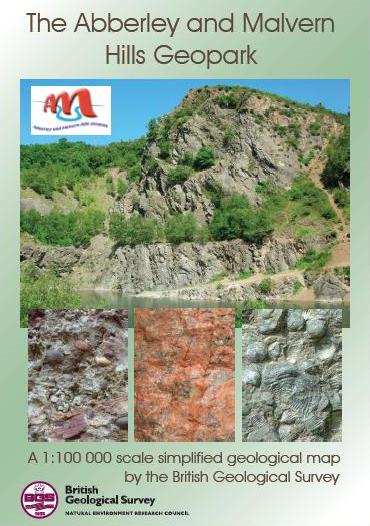
Geological Map of the Abberley and Malvern Hills Geopark
The Abberley and Malvern Hills Geopark Geology map is a 'Special Edition' map, which is purpose-made by the British Geological Survey.
more »
The Geopark Way Circular Trails
The three trail routes were devised to incorporate a section of the Geopark Way long distance walking trail, with each trail visiting former aggregate site/s that are located off the main trail.
Aggregate and Quarry Trails
Aggregates extraction sites are found throughout the Geopark. These sites cluster around the Abberley and Malvern Hills, the May Hill area and the Wyre Forest. In the past disused quarries were often used as landfill sites, nowadays they are more likely to be sympathetically restored and transformed into nature reserves. Increasingly disused quarries are conserved for their geodiversity as well as their biodiversity and quarry sites are managed to benefit local communities ensuring they have access to important Earth heritage sites. There are six aggregate trails in the Geopark. For details click here.
Walks for Health
Herefordshire and Worcestershire Earth Heritage Trust has developed a new series of geological trails that Walking the Way to Health groups – established groups of people who are walking regularly to improve their health – can use as part of their programmes. Four self-guiding trails have been established in Bridgnorth, Alveley, Stourport and Ledbury, along sections of the ‘ Geopark Way’ more »
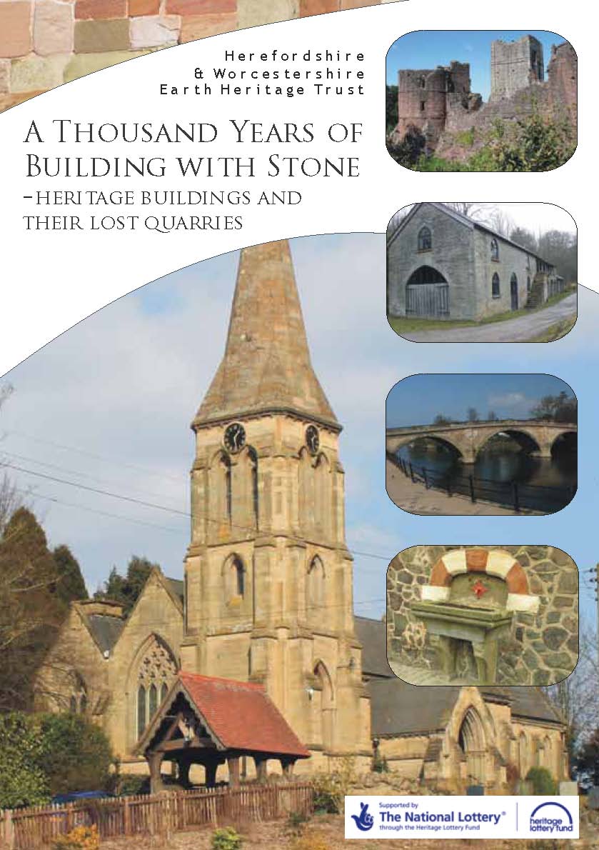
British Geological Survey Publications
The British Geological Survey (BGS) publishes a number of geological maps and memoirs for districts within the Geopark. Click more to find out more information. more » |
For more information about the Geopark, contact the Geopark Secretariat: H&W Earth Heritage Trust 01905 855184 |
|||||
|
||||||