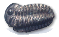
 The Abberley and Malvern Hills form the backbone of an area illustrating over 500 million years of Earth history. Stratigraphy from Precambrian to Jurassic and Quaternary is represented with almost complete successions of the Silurian and Triassic periods present. A fine range of igneous, metamorphic and sedimentary rocks exists with some nationally important exposures and outcrops. Silurian palaeontology is excellent and has formed the basis of much research. Indeed the whole area has been the centre of research and mapping from the days of Murchison through to the present day.
The underlying Precambrian basement with its associated faulting and folding runs in a north south direction and is the major influence on the geology of the geopark. Its impact can be seen from the southern margins of the Silurian May Hill inlier through the surface expression of the Precambrian of the Malvern Hills and nearby Silurian hills of Ledbury and Suckley on to the Abberley Hills themselves. The associated major faulting then continues in to the Carboniferous rocks of the Wyre Forest. This geological backbone to the area is flanked by a full Triassic succession to the east and a significant part of the Lower Devonian to the west. Furthermore the glacial and fluvial history of the Quaternary is written in the deposits and terraces of the Rivers Severn, Stour, Teme, Rea, Frome and Leadon.
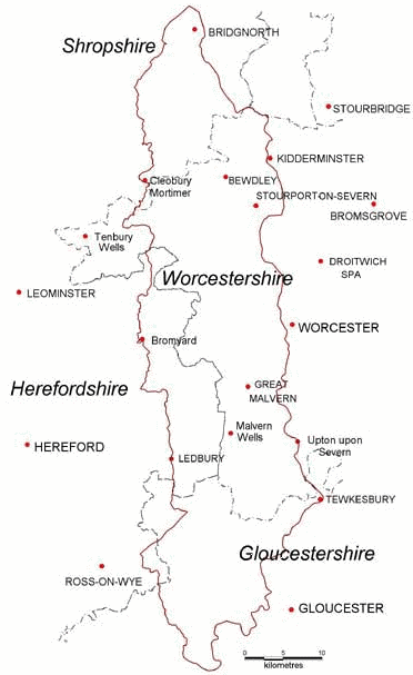
The borders of the Abberley and Malvern Hills Geopark are shown in the map on the right.